Forensic documentation & Reconstruction
Accurate scene documentation and spatial data solutions supporting attorneys, investigators, and insurance professionals.

overview
Defensible Data. Professional Results.
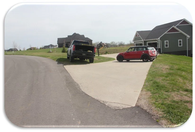
SV Aerial & Consulting provides accurate and reliable forensic documentation using advanced drone technology, photogrammetry, and survey-grade equipment. Our approach focuses on capturing precise spatial data to support analysis, reconstruction, and clear presentation of findings.
services we offer