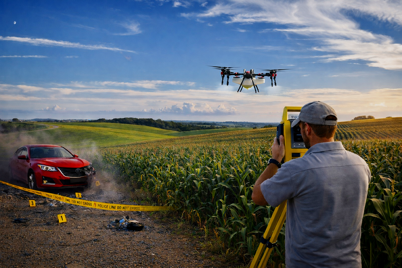
Drone technology
Real-world implementation
Spatial Data
Serving agriculture, engineering, public safety, and forensic professionals with scalable drone systems, mapping solutions, and technical instruction.
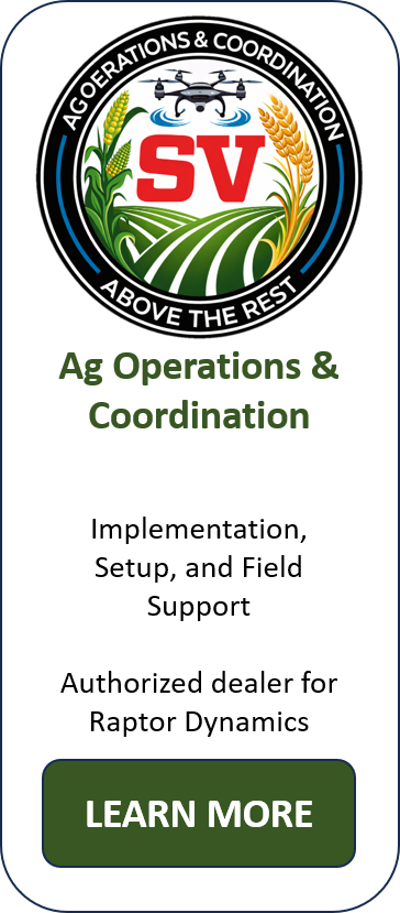
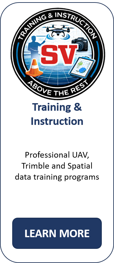
Our Mapping & Data Solutions, Accident Reconstruction, Agricultural Operations, and Instruction Expertise
Powered by Advanced Drone Operations
Helps You Stay Above the Rest
divisions